Chinese engineers make sci-fi drone mapping reality
By PENG CHAO in Chengdu |
chinadaily.com.cn |
Updated: 2025-03-13 16:41


Share


Share - WeChat


A scene from the science fiction film Prometheus, where explorers deploy a mini-drone that laser-scans caves to generate 3D models instantly, has turned into reality, thanks to the efforts of Chinese engineers.
On Tuesday, the Spatiotemporal AI Perception Technology Innovation Center at the Tianfu Jiangxi Laboratory in Chengdu, Sichuan province, announced that it has launched Dimension 1, the world's first ultra-compact portable mapping drone. It is designed to perform asset digitization scanning tasks in indoor environments.


- People using AI tech to aid cybercrime will face severe penalties
- East China province prepares for typhoon Co-May's comeback
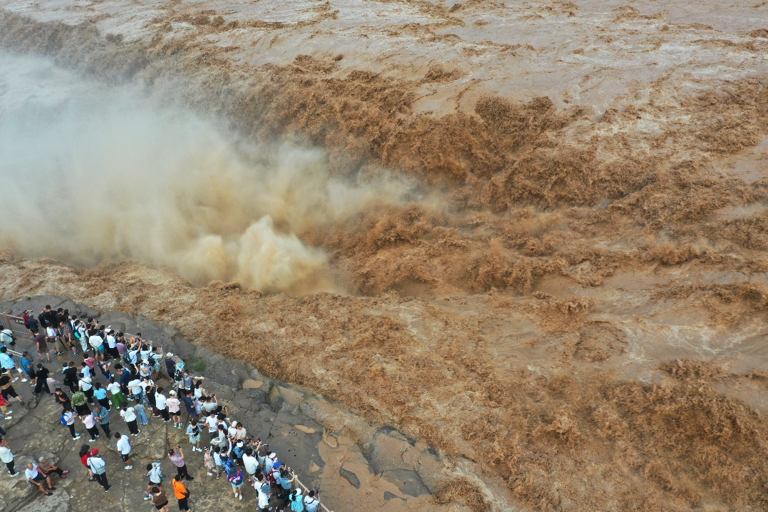
- China reports 'No1 flood' of 2025 in major rivers amid heavy rain
- Lhasa earns prestigious wetland city recognition
- Beijing issues highest-level rainstorm alert as storms continue
- Ordination certificate of Shi Yongxin revoked