Chinese engineers make sci-fi drone mapping reality
By PENG CHAO in Chengdu |
chinadaily.com.cn |
Updated: 2025-03-13 16:41


Share


Share - WeChat


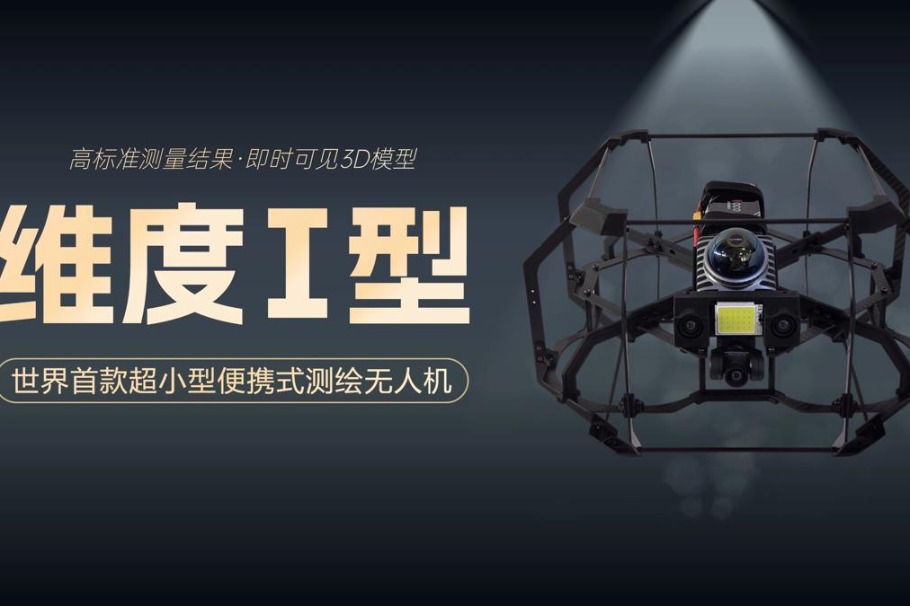
A scene from the science fiction film Prometheus, where explorers deploy a mini-drone that laser-scans caves to generate 3D models instantly, has turned into reality, thanks to the efforts of Chinese engineers.
On Tuesday, the Spatiotemporal AI Perception Technology Innovation Center at the Tianfu Jiangxi Laboratory in Chengdu, Sichuan province, announced that it has launched Dimension 1, the world's first ultra-compact portable mapping drone. It is designed to perform asset digitization scanning tasks in indoor environments.


- Chinese engineers make sci-fi drone mapping reality
- Wild sables spotted in Changbai Mountain by dedicated photographers
- Study finds 'oasis of life' thrived in NW China during Earth's worst mass extinction
- Rare Chinese monkeys spotted scaling cliffs in Hubei
- Former senior political advisor Wu Yingjie to face corruption trial
- Octogenarian completes dual bachelor's degree programs through self-study